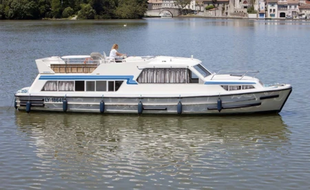

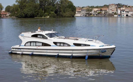
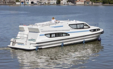

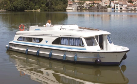
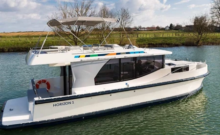
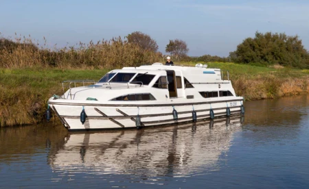
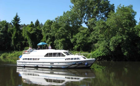
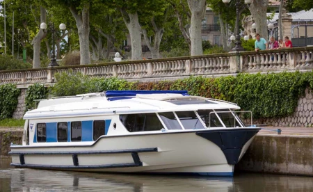
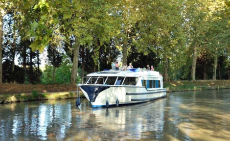
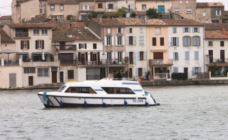
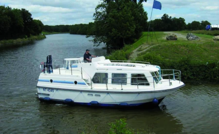
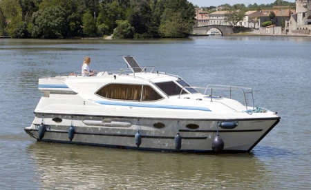

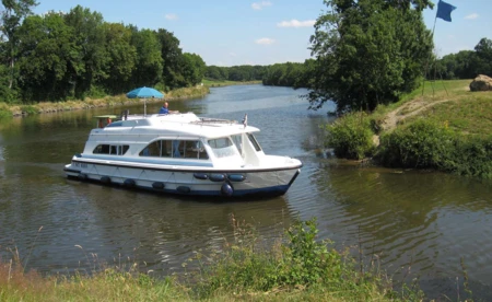
Loizy river yacht charter & license-free river boats
Last updated on 8 April 2025
Located about 2 km from Jouvencéon, the commune of Loisy belongs to the department of Saône-et-Loire. Covering an area of 14.64 km², Loisy benefits from a preserved environment. It also proves to be an excellent point of departure for a walk along the canals criss-crossing Burgundy.
How can you make the most of your stay in Loisy?
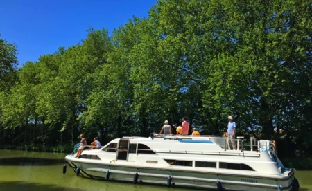
Despite its limited number of historic buildings, the commune of Loisy is nevertheless an ideal destination for those who enjoy walks in the countryside and rural landscapes. If you are looking for a complete change of scenery, you will not regret your stopover in Loisy! By choosing river cruises in Loisy, you can discover the beautiful landscapes along the banks of the Saône at your leisure. A perfect opportunity for yachtsmen and travelers to admire the range of landscapes of Franche-Comté!
With its picturesque villages and green landscapes, the area around Loisy really does have no shortage of places of interest. As you calmly glide along the canal from the Rhône to the Rhine, you can make a short stop at Baume-les-Dames to immortalize the Abbey of Sainte Odile, dating from the 4th century. A detour via Besançon is also a must if you want to admire a true city of art and history! But Loisy is obviously one of the places you can't miss if you simply want to recharge your batteries.
Loisy and the surrounding area
An unmissable place for strolling with your family or your sweetheart in a picturesque setting, Loisy is embellished with a few unmissable sites that will delight budding historians. Between two hikes, you can admire the splendid and majestic Château de Loisy. The latter, overlooking the Seille valley, will be an excellent point of departure for exploring the city's other little historical gems.
Built in the mid-18th century, the Croix Petitjean and the house of the same name are, for example, among the must-sees. And if you want to mingle with the locals, consider visiting the weekly markets in the neighboring towns. The market in Tournus, which takes place every Saturday, and the one in Saint-Germain-du-Plain, which takes place every Thursday, will entertain you and introduce you to different local products.
France inland waterways Loisy to the south: 7 days
Loisy is a French commune, located in the department of Saône-et-Loire and the Burgundy region. Loisy is part of Bresse louhannaise. There are 6 communes bordering Loisy, all located in the canton of Cuisery.
Practical information
- Starting point: Loisy
- End point: Loisy
- Total km: 152.5 km
- Total Hours: 24 hrs 10 mins
- Total Locks: 34 Locks
Summary of your itinerary
Loisy >>> Cuisery (5 km / 0 hr 37 min / 0 locks)
Cuisery is part of the Bresse louhannaise. The canton is located on the southern edge of the Saône-et-Loire department, on the edge of the Burgundy region, and on the southern edge of the parlers dâ??oïl. The patois of this part of the Saône valley are strongly influenced by Franco-Provençal dialects. The village overlooks the Seille, which forms the eastern boundary of the commune.
Cuisery >>> La Truchère (12 km / 1 hr 45 min / 1 locks)
La Truchère is a French commune, located in the department of Saône-et-Loire and the Burgundy region. La Truchère is part of the Bresse. The commune is located in Saône-et-Loire, to the south-east of Tournus, the commune where the Seille and the Saône meet. The La Truchère nature reserve is located in the commune, as well as in the commune of Ratenelle. It is a major site for its rare plants and birds.
La Truchère >>> Tournus (7 km / 0 hr 47 min / 1 lock)
Tournus is a French commune, located in the department of Saône et Loire and the Burgundy region. General view Tournus has a population of around 5600 inhabitants called Tournusiens and Tournusiennes.
Tournus >>> Gigny Sur Saone (11 km / 1 hr 07 min / 1 locks)
Gigny-sur-Saône is a French commune, located in the department of Saône-et-Loire and the Burgundy region. The commune is located on the right bank of the Saône, between Chalon-sur-Saône and Tournus. It is a few kilometers from Sennecey-le-Grand and about twenty kilometers from Chalon-sur-Saône.
Gigny Sur Saone >>> Chalon sur saone (19 km / 1 hr 21 min / 0 locks)
Chalon-sur-Saône is a French commune that is part of the Rhine-Rhône metropolis; it is located in the Burgundy region, and is a sub-prefecture of the department of Saône-et-Loire. This city is located on the side of the Saône river, in the north of Saône-et-Loire. Its inhabitants are called the Chalonnais.
Chalon sur Saône >>> Fragnes (10.5 km / 1 hr 44 min / 1 locks)
Fragnes is a French commune, located in the department of Saône-et-Loire and the Burgundy region. Fragnes is located to the north of Chalon sur Saône, about 7 km away. It is crossed by the Canal du Centre, and by the "Chalon sur Saône - Saint Léger sur Dheune" greenway which runs alongside the canal. It is hauled in by La Thalie.
Fragnes >>> Rully (8 km / 3 hrs 19 mins / 8 locks)
Rully is a French commune located in the department of Calvados and the region of Lower Normandy, with a population of 218 inhabitants1 (the Rullois). The municipality is in the south of the Bocage virois. Its village is 4.5 km south-west of Vassy, 8.5 km north of Tinchebray and 14 km east of Vire.
Rully >>> Changy (4 km / 1 hr 25 min / 3 locks)
Changy is a French commune, located in the department of the Loire and the Rhône-Alpes region. the site of Changy, on the sides of the Teyssonne, has been occupied since prehistoric times (remains of polished stones, flint, etc.). It was then occupied by the Celts (coins minted by the Ã?duens), came under Roman influence and became part of the Segusiave region. The first lords of Changy were vassals of the Counts of Forez. The village suffered the ravages of the Hundred Years War because it was located on a very important thoroughfare, which would become the Route Royale, then, in the 20th century, the Nationale 7.
Changy >>> Loisy (76 km / 12 h 05 min / 19 locks)
Loisy is a French commune, located in the department of Saône-et-Loire and the Burgundy region. Loisy is part of the Bresse louhannaise. Loisy has six neighboring communes, all located in the canton of Cuisery.
France inland waterways Loisy to North: 7 Days
Practical information
- Base of departure: Loisy
- Arrival base: Loisy
- Total km: 266 km
- Total Hours: 29 h 34 min
- Total Locks: 24 Locks
Summary of your itinerary
Loisy >>> Cuisery (5 km / 0 hr 37 min / 0 locks)
Cuisery is part of the Bresse louhannaise. The canton is located on the southern edge of the Saône-et-Loire department, as well as on the edge of the Burgundy region, and also on the southern edge of the Oïl dialects. The patois of this part of the Saône valley are strongly influenced by Franco-Provençal dialects. The village overlooks the Seille, which forms the eastern boundary of the commune.
Cuisery >>> La Truchère (12 km / 1 hr 45 min / 1 locks)
La Truchère is a French commune, located in the department of Saône-et-Loire and the Burgundy region. La Truchère is part of the Bresse. The commune is located in Saône-et-Loire, to the south-east of Tournus, the commune where the Seille and the Saône meet. The La Truchère nature reserve is located in the commune, as well as in the commune of Ratenelle. It is a major site for its rare plants and birds.
La Truchère >>> Tournus (7 km / 0 hr 47 min / 1 lock)
Tournus is a French commune, located in the department of Saône et Loire and the Burgundy region. General view Tournus has a population of around 5600 inhabitants called Tournusiens and Tournusiennes.
Tournus >>> Gigny Sur Saone (11 km / 1 hr 07 min / 1 locks)
Gigny-sur-Saône is a French commune, located in the department of Saône-et-Loire and the Burgundy region. The commune is located on the right bank of the Saône, between Chalon-sur-Saône and Tournus. It is a few kilometers from Sennecey-le-Grand and about twenty kilometers from Chalon-sur-Saône.
Gigny Sur Saone >>> Chalon sur saone (19 km / 1 hr 21 min / 0 locks)
Chalon-sur-Saône is a French commune that is part of the Rhine-Rhône metropolis; it is located in the Burgundy region, and is a sub-prefecture of the department of Saône-et-Loire. This city is located on the side of the Saône river, in the north of Saône-et-Loire. Its inhabitants are called the Chalonnais.
Chalon sur Saône >>> Gergy (2.5 km / 0 hr 10 min / 0 Locks)
Gergy is a French commune, located in the department of Saône-et-Loire and the Burgundy region, about 10 kilometers northeast of Chalon-sur-Saône. Its inhabitants are called the Gergotins. The commune is part of the canton of Verdun-sur-le-Doubs (chief town). It is located about 10 kilometers northeast of Chalon-sur-Saône. The village of Gergy has three hamlets: Villeneuve to the west, Bougerot to the south and Raconnay to the north. The commune is hauled in on the east side by the Saône, and on the west side by the Gergy forest, which covers approximately 1,300 hectares.
Gergy >>> Verdun sur le doubs (22.5 km / 1 hr 36 min / 0 Locks)
Verdun-sur-le-Doubs is a French commune, located in the department of Saône-et-Loire and the Burgundy region. The commune is part of Bresse Bourguignonne. It is located at the confluence of the Saône and the Doubs.
Verdun sur le doubs >>> Seurre (19.5 km / 1 hr 43 min / 1 locks)
Seurre is a French commune, located in the department of Côte-d'Or and the Burgundy region. Its name is thought to come from the Low Latin word saburra, meaning sand or gravel. Located in the Saône valley, at the confluence of two spinnaker arms of the navigable river, the small town is a place where the river crosses the southern part of the Côte-d'Or department. 40 km from Dijon and 22 from Beaune, Seurre is the capital of an essentially agricultural canton: it ensures the transportation of the sector's cereals by river boat or train and remains an attractive commercial center for the surrounding villages.
Seurre >>> Saint-Jean-de-Losne (15 km / 1 hr 45 min / 1 locks)
Saint-Jean-de-Losne is a French commune, located in the department of Côte-d'Or and the Burgundy region. Saint-Jean-de-Losne is located on the Saône, at the confluence of the Saône and the Ouche. It is the crossroads between three major waterways: the Saône, towards the Rhône and the Mediterranean the Burgundy canal, towards the Seine and the Paris basin the Rhine-Rhône canal, towards the Rhine and northern and eastern Europe Saint-Jean-de-Losne is also one of the smallest communes in France, occupying only 0.6 km² (the smallest being Castelmoron-d'Albret with 0.0354 km²). The neighboring communes are Losne to the south and Saint-Usage to the north.
Saint-Jean-de-Losne >>> Saint-Symphorien (5.5 km / 0 hr 41 min / 1 locks)
Saint-Symphorien is a French commune, located in the department of Ille-et-Vilaine and the region of Brittany. After having merged with Hédé in 1973, it was re-established on January 1, 2008.
Saint-Symphorien >>> Choisey (14 km / 3 hrs 15 mins / 6 locks)
Choisey is a French commune, located in the department of Jura and the Franche-Comté region. Its inhabitants are known as Cabotines and Cabotins.
Choisey >>> Loisy (133 km / 14 hrs 47 mins / 12 locks)
Loisy is a French commune, located in the department of Saône-et-Loire and the Burgundy region. Loisy is part of the Bresse louhannaise. There are 6 communes bordering Loisy, all located in the canton of Cuisery.
Good to know
| Number of boats available | 1 029 |
|---|---|
| Average price per week | $2,215 |
| Minimum weekly price | $630 |
| Maximum price per week | $5,621 |